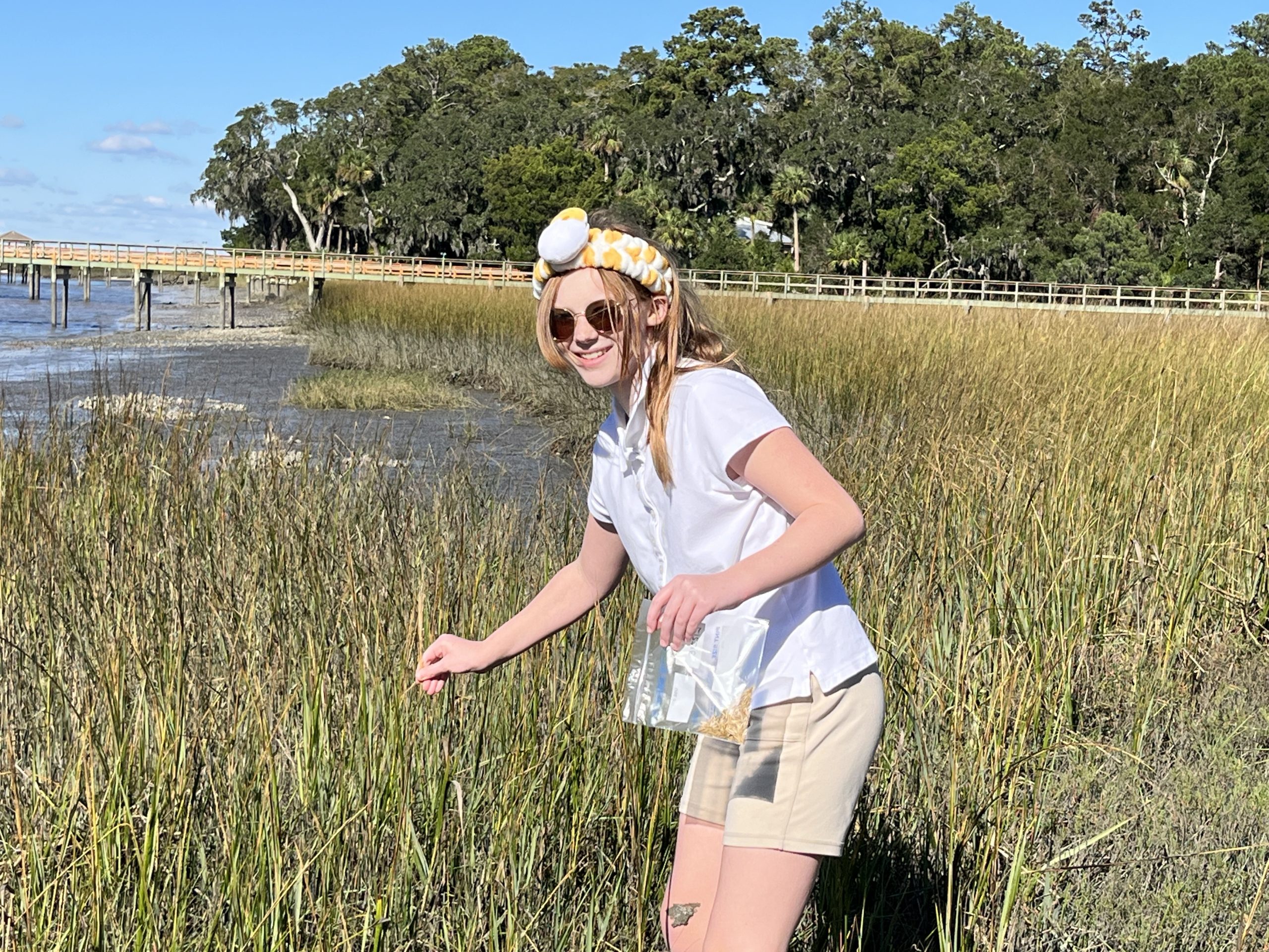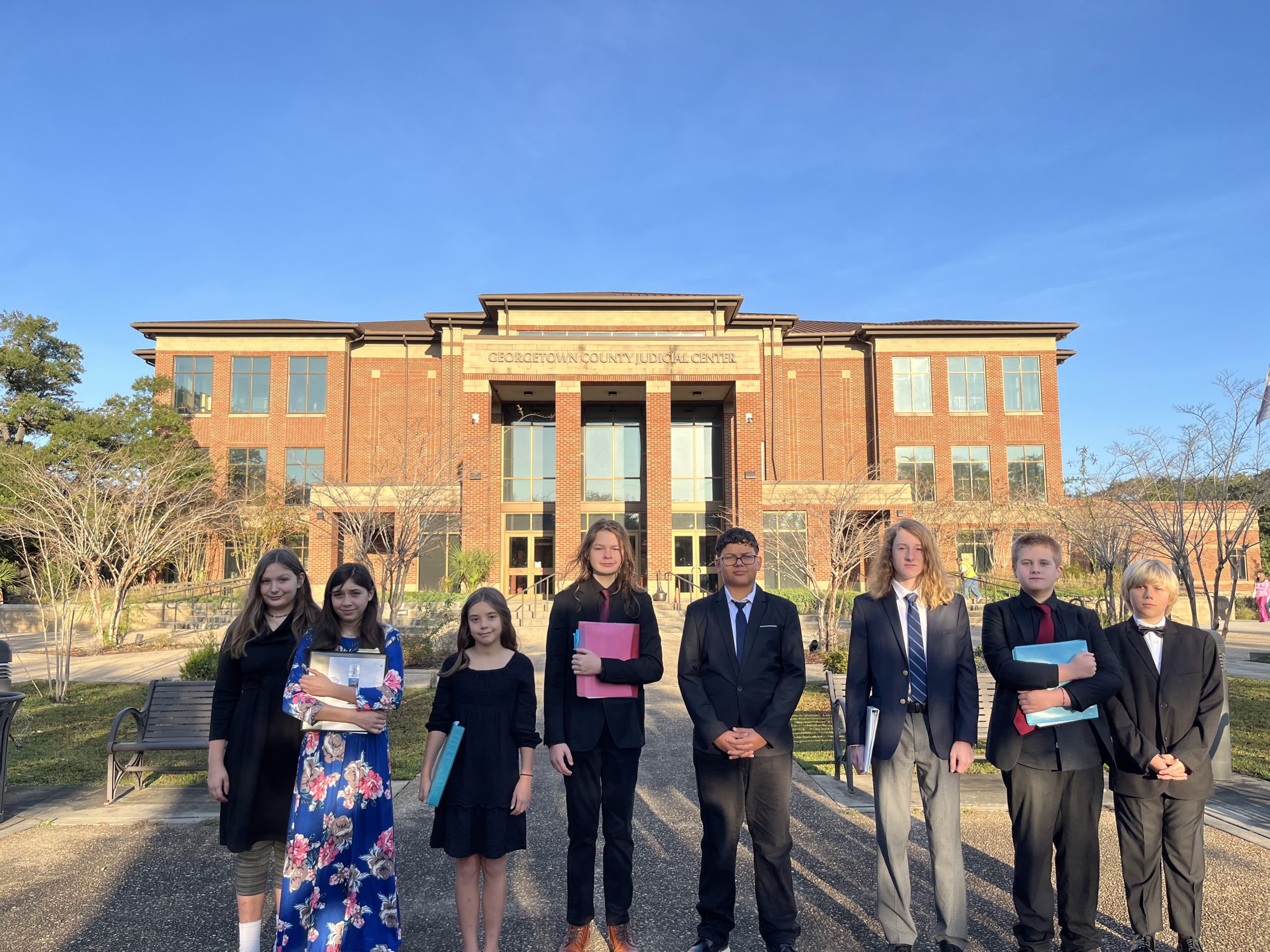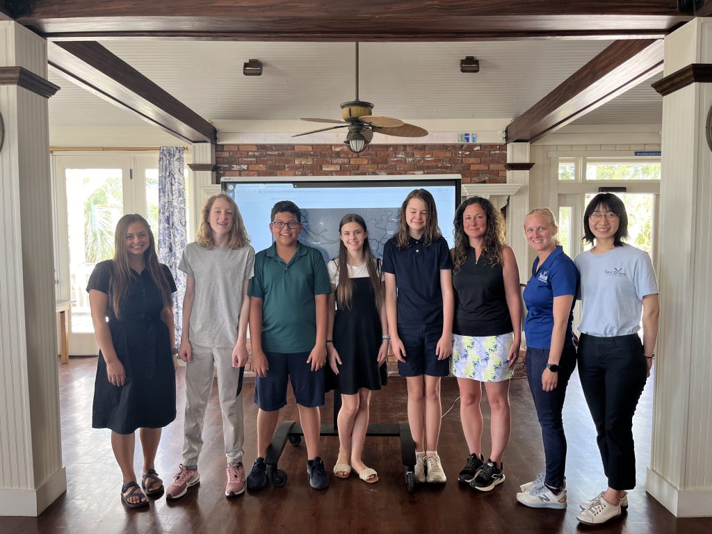
Environmental stewardship is important to us at Daufuskie Island Independent School. Each year, as part of students’ Marine Science course, students research a current environmental issue on Daufuskie and present their findings and any possible solutions to the community.
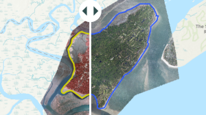
Daufuskie Shoreline GIS Story Map is a web page built by Daufuskie Island Independent School students this last semester to share their research on Daufuskie’s shoreline. DIIS has been collaborating with SC SEA Grant, College of Charleston, Coastal Carolina University, and Daufuskie Island Conservancy to teach students how to use GIS technology to track Daufuskie’s shoreline over the last 45 years. They also studied sea level rise and erosion and their impact on the island.
Take a few minutes to explore and interact with the maps and data here. You are bound to find some interesting and suprising information! A special thanks to Daufuskie Island Conservancy for funding our second semester research. We are so grateful our students are having opportunities to lead research about issues important to our island.
To learn more about this trailblazing collaboration, see the following article! Daufuskie Island Independent School ArcGIS Mapping – S.C. Sea Grant Consortium